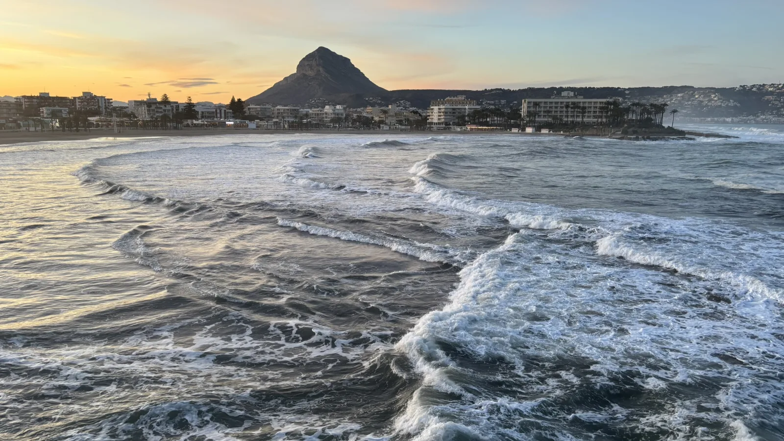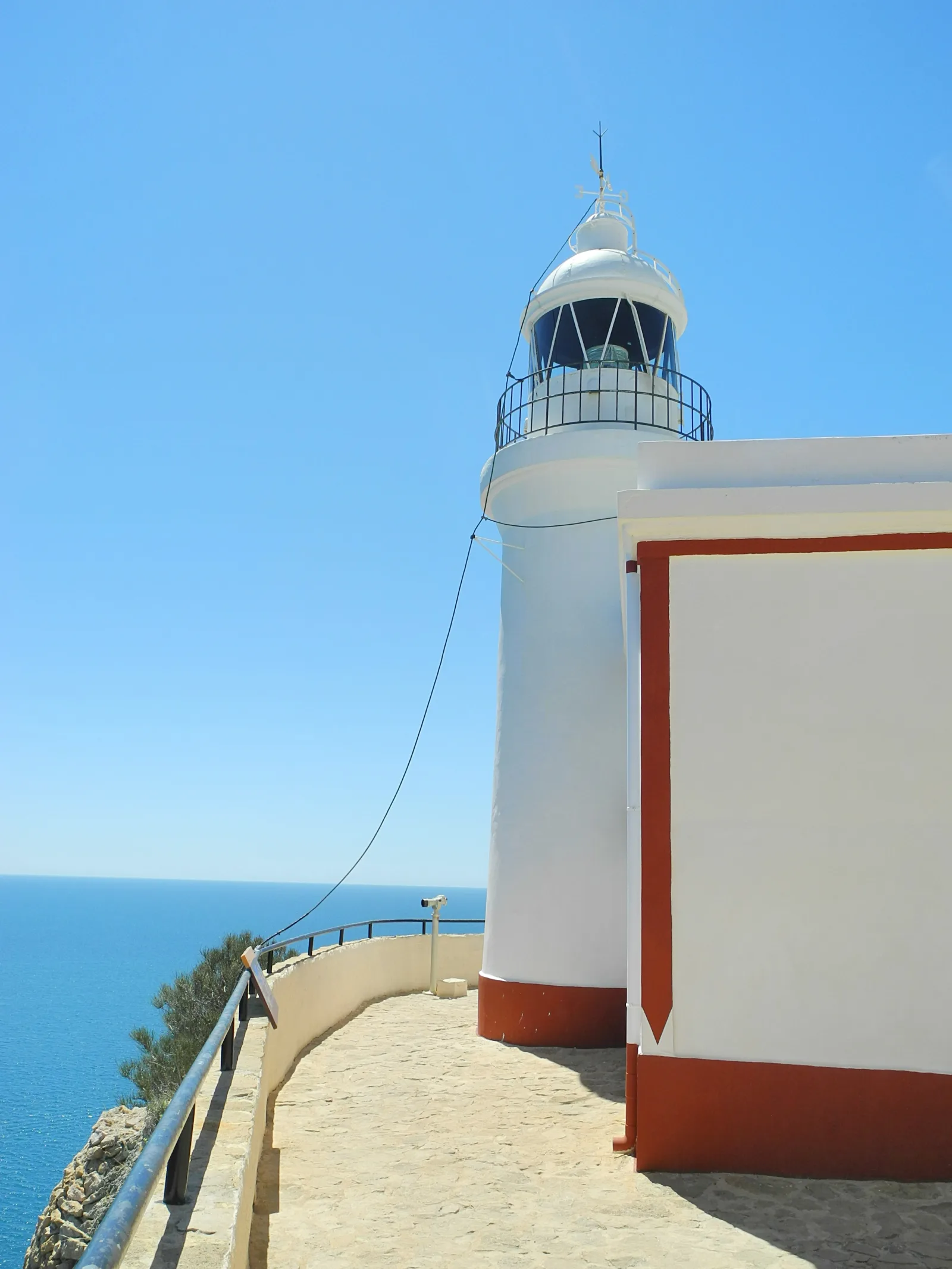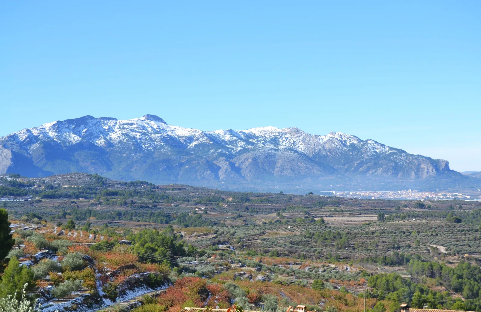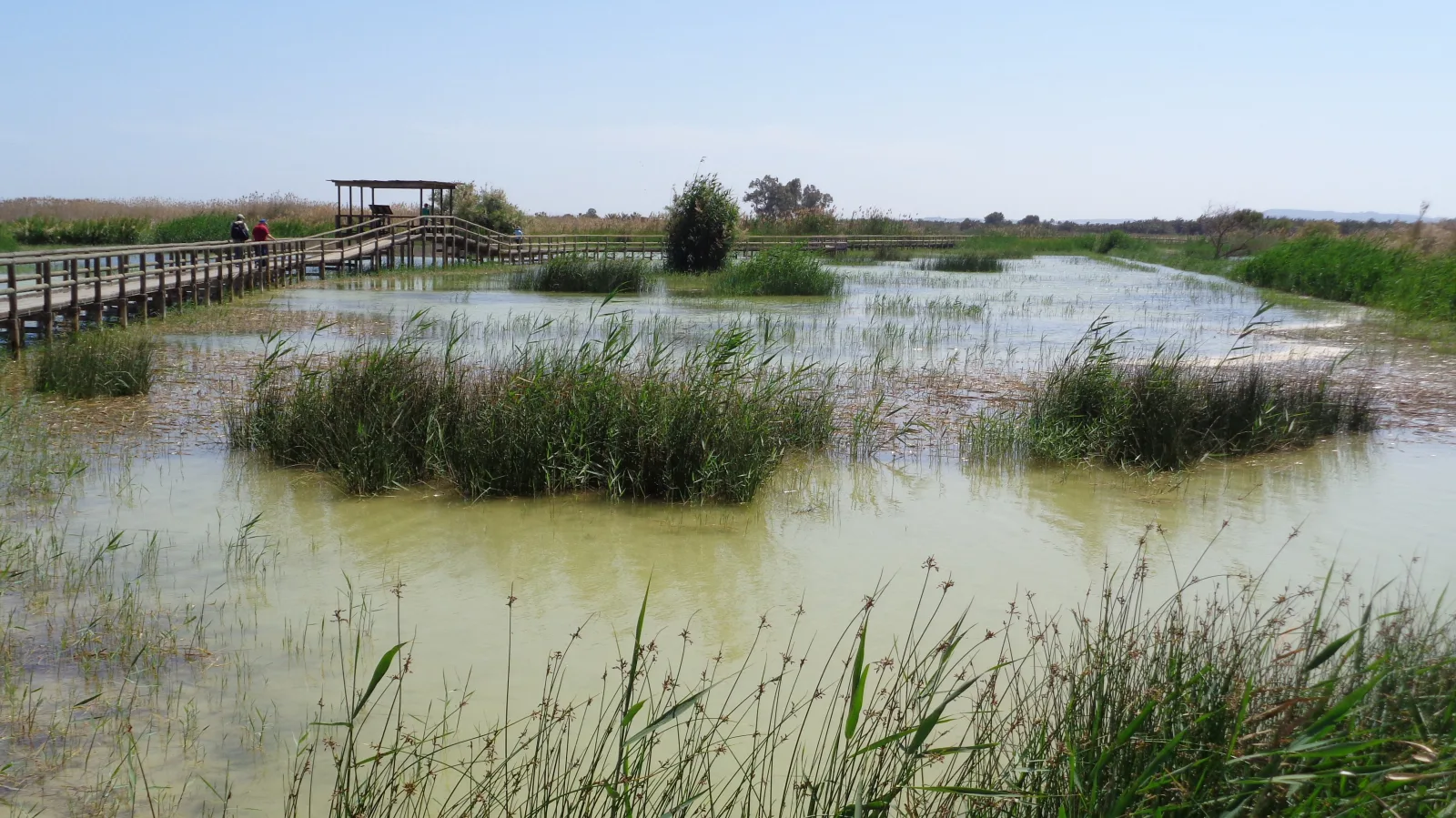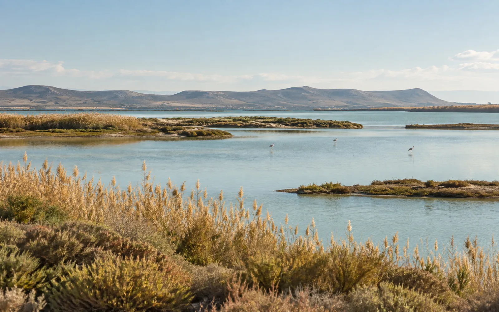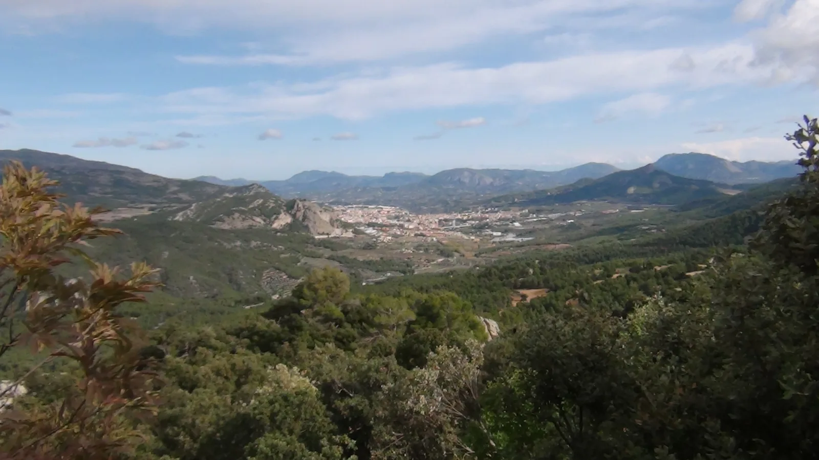
A lighthouse beside the Mediterranean, the landscapes of Mariola or a pause to watch birds at the southern lagoons: Alicante unfolds one step at a time. The variety of coast, mountains and wetlands gives each day a character of its own. Choose a base, set aside time to walk and leave room to enjoy the destination on your return.
Walk with the Mediterranean in the landscape
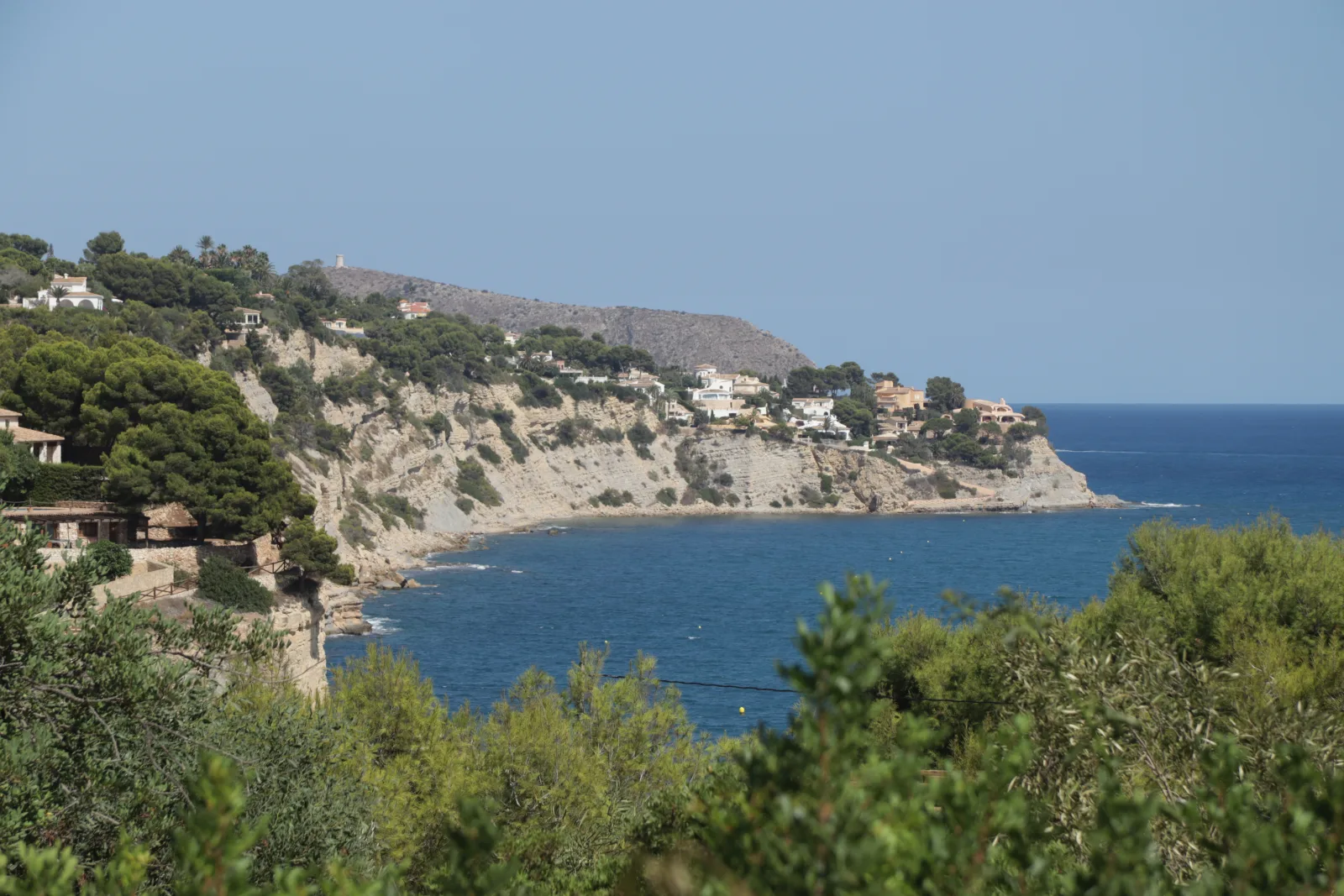
Montgó shapes the landscape around Dénia and Xàbia. Further south, Serra Gelada offers references such as the l’Albir lighthouse itinerary. Both invite you to combine coast and mountain in one break. Choose the specific walk using its official description: a viewpoint stroll and a traverse with substantial climbing call for different plans.
The inland landscape extends the trip
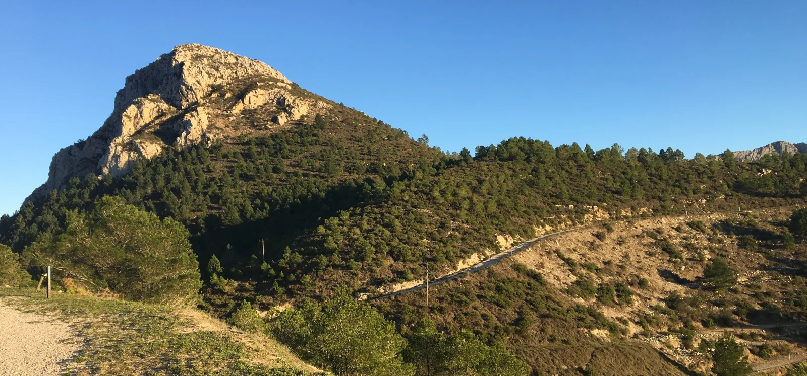
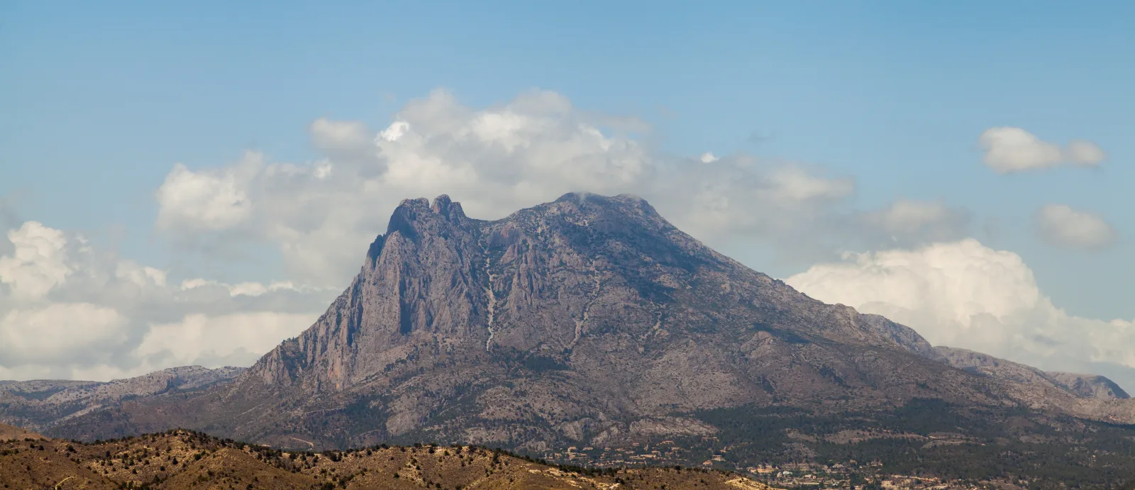
Official publications include options in Serra de Mariola, Carrascar de la Font Roja, the Bèrnia mountains and the Puig Campana area. They also cover Vinalopó landscapes such as the Cid and Crevillent mountains. Plan the whole day: reaching the start, walking, resting and returning, without combining trails simply because they look close on a map.
A different way to walk in the south
At the La Mata-Torrevieja lagoons, marked itineraries and birdwatching offer a different setting from the peaks. Torrevieja's greenway combines urban sections with scenery beside the lagoon. Respect paths and protected areas: being able to see the water does not mean you may enter it. Check the current state and conditions of your chosen section.
The right date depends on the actual conditions
If you want to avoid heat, consider cooler dates and times without assuming autumn or winter guarantee good weather. Review wind, rain, temperature, daylight and protected-area notices. Carry water, wear suitable footwear, save route information for offline use and allow time to return. If warnings or closures apply, change the plan; a saved route is not permission to enter.
STARTING POINTS
Give your trip a starting point.
Before you head out.
What should I check besides a trail's distance?
Elevation gain, surface, exposure, navigation, escape options and return time. Check how the stated duration was calculated and whether it includes breaks. A short distance can still be demanding; do not judge difficulty from kilometres or a photograph alone.
How do I choose a walk for children or people with reduced mobility?
Ask for specific information about gradients, surfaces, steps, edge protection, toilets and access to the start. Do not assume accessibility because a route is described as easy. Confirm with the manager or guide that it suits the group's needs.
Does this guide provide tracks or confirm that trails are open?
No. It introduces areas and links to official sources. Obtain the itinerary from its source and check notices, booking requirements and access conditions before leaving. We do not provide live monitoring of closures or conditions.
Sources to plan your trip
- Generalitat Valenciana · Montgó y otros paisajes del norte de Alicante ↗
- Generalitat Valenciana · Lugares e itinerarios de Serra Gelada ↗
- Turisme Comunitat Valenciana · Rutas y publicaciones de senderismo ↗
- Turisme Comunitat Valenciana · Guía de senderismo ↗
- Turisme Comunitat Valenciana · Lagunas de La Mata-Torrevieja ↗
- Turisme Comunitat Valenciana · Vía Verde de Torrevieja ↗
- AEMET · Predicción por municipios ↗
Editorial review: 2026-09-22
Make more of your escape.
Pair your sport with a stay, an experience or a moment of wellness.