- Start
- Cases de Bèrnia, following Benissa Turisme's itinerary
- Distance
- 8.52 km · shorter circuit published by Benissa Tourism
- Cumulative ascent
- 453 m
- Difficulty
- Moderate in the municipal description; mountain trail through the Forat
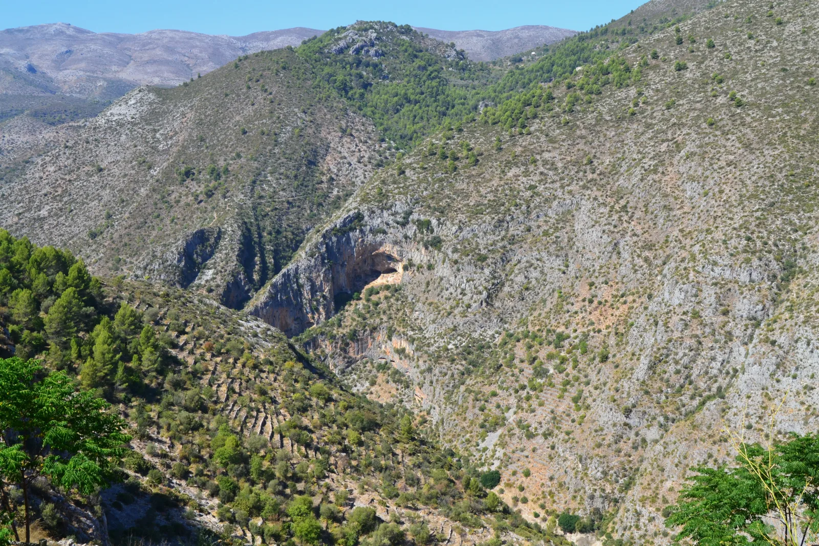
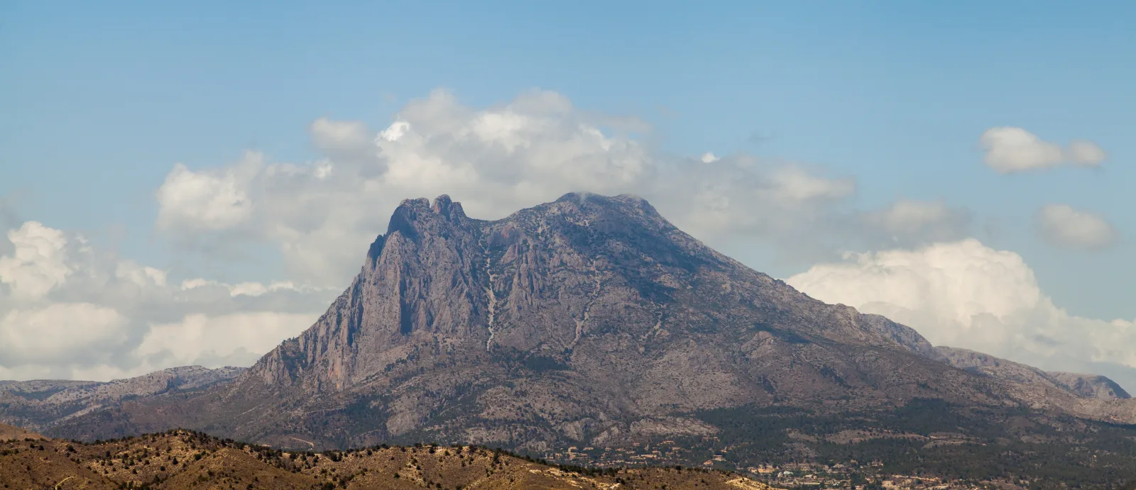
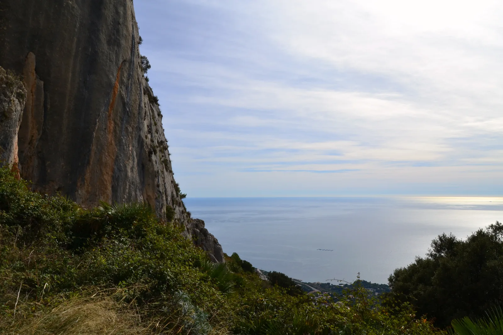
Bèrnia forms a rocky divide between the Marina Alta and Marina Baixa. The circuit from Cases de Bèrnia passes through that barrier at the Forat before continuing towards the remains of the fort, bringing scenery and history into one outing. It is a mountain experience for visitors who enjoy trails and changing perspectives. The appeal of the views should not distract from assessing the terrain and the abilities of everyone in your group.
Choose the Cases de Bèrnia version
Benissa Tourism publishes a circuit of 8.52 kilometres with 453 metres of cumulative ascent; its linked official itinerary starts at Cases de Bèrnia. Those are the figures used here. The federation's PR-CV 7 record starts in Altea la Vella and describes a considerably longer route. Do not interchange starting points or plan your day using the measurements from one version and the access arrangements from another. Identify your chosen circuit before travelling.
The Forat and fort give the circuit its character
Benissa Turisme's description passes Font de Bèrnia, crosses through the Forat and continues towards Fort de Bèrnia before completing the loop. The natural passage links the mountain's two sides, while the fort adds a historical dimension to the landscape. Use this sequence to understand the outing, rather than treating it as turn-by-turn navigation. Consult the official map and allow time to stop without obstructing the passage of other walkers along the trail.
A moderate rating still means mountain terrain
The municipal rating is moderate; that does not mean an accessible promenade or an automatic recommendation for every family. The Forat has a low, narrow entrance that requires stooping, so consider this before choosing the outing. The federation record consulted warns that PR-CV 7 lacks recent quality controls; confirm signage and maintenance conditions through local information. That warning does not, by itself, establish that the trail is closed to walkers.
Set out with time and a shared plan
Carry sufficient water without relying on springs, food, mountain footwear and an itinerary available offline. Adapt your departure to forecast wind, rain and heat; stops and terrain conditions can extend an indicative timetable. Agree with your companions when to reconsider the outing if someone is uncomfortable. Leave extensions towards other settlements or an ascent onto the ridge for a separately planned day, with the information and experience required for that particular objective.
Before your visit.
Does this circuit start in Altea la Vella?
No. It covers Benissa Turisme's shorter circuit from Cases de Bèrnia. The FEMECV PR-CV 7 route starting in Altea la Vella has a different distance and ascent.
Does the quality-control warning mean the trail is closed?
No. It identifies a limitation in information about maintenance and signage. Check current notices and conditions; this guide neither guarantees the route's condition nor replaces that check.
Check the official sources.
Before travelling, check current notices, access arrangements, reservations and programmes with these sources.
- Turismo de Benissa · Circular de Bèrnia, datos técnicos ↗
- Benissa Turisme · Itinerario oficial desde Cases de Bèrnia en Wikiloc ↗
- FEMECV · PR-CV 7 desde Altea la Vella y estado de controles ↗
- Turisme Comunitat Valenciana · Guía de senderismo, descripción del Forat de Bèrnia ↗