- Start
- Calle de la Era · Parc Cavall Verd, Fleix
- Distance
- 13.7 km · PR-CV 147 circuit, according to FEMECV
- Cumulative ascent
- 1,055 m
- Time and effort
- 6 h theoretical time before personal allowances · MIDE effort 4/5
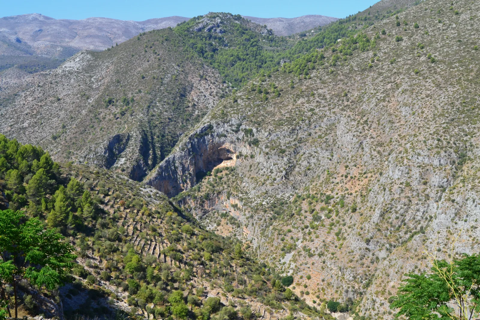
La Vall de Laguar reveals a Marina Alta of ravines, villages and stone paths. The PR-CV 147, known as the Catedral del Senderismo, turns that landscape into a day of repeated descents and climbs. Its appeal comes from both the terrain and the traces of earlier journeys through it. Choose this outing because you want to spend hours hiking, rather than as a short walk to fill a gap in your sightseeing schedule.
Identify the circuit from Fleix
The FEMECV record places the start on Calle de la Era beside Parc Cavall Verd in Fleix and lists 13.7 kilometres with 1,055 metres of cumulative ascent. Its six-hour duration is theoretical, so add stops and a personal margin. Use this reference for the PR-CV 147 circuit; other descriptions may measure variants or round distances differently. Save the official route information alongside your own plans for reaching and leaving the village.
The effort is part of the experience
Successive steps, paths and changes of slope mean that distance alone tells only part of the story. The federation gives the route an effort score of 4 out of 5 on the MIDE scale. Prepare for a physically demanding day and maintain a pace you can sustain through the later climbs. Walk with companions of comparable ability and agree on breaks beforehand. Photographing the paths is much more enjoyable when you are not chasing a tight finishing time.
A trail with river crossings
The itinerary crosses the River Girona twice. Check the weather forecast and local notices, particularly when rain or thunderstorms are expected in the area: a channel that is often dry does not guarantee a safe crossing. This is a hike along PR-CV 147, not a canyoning descent through the gorge. If water, a route problem or your remaining energy makes progress unsafe, do not improvise shortcuts or attempt a crossing.
Prepare for a full day
Carry sufficient water and food from Fleix, wear footwear with dependable grip and have navigation information available without a mobile signal. Do not plan supplies around an assumption that a spring will provide drinking water. Avoid intense heat and allow plenty of daylight. A quiet visit to the villages of La Vall de Laguar fits better afterwards than another mountain hike, which would reduce the flexibility available for your main outing.
Before your visit.
Is this a good first hike?
The cumulative ascent and MIDE effort score of 4/5 call for experience and preparation for several hours on foot. For a first outing, choose a shorter option that suits the group.
Does this guide cover canyoning?
No. It covers the PR-CV 147 hiking circuit. A canyon descent is a different activity with its own conditions, equipment and skills.
Check the official sources.
Before travelling, check current notices, access arrangements, reservations and programmes with these sources.
- FEMECV · Ficha del sendero PR-CV 147 ↗
- Turisme Comunitat Valenciana · Senderismo en el Barranc de l’Infern ↗