- Start
- Calle San Francisco, Beniardà
- Distance
- Approximately 10 km for the municipal circuit from Beniardà
- Terrain
- Footpath and paved track; either direction possible
- Difficulty
- Low technical difficulty according to the council; consider the distance
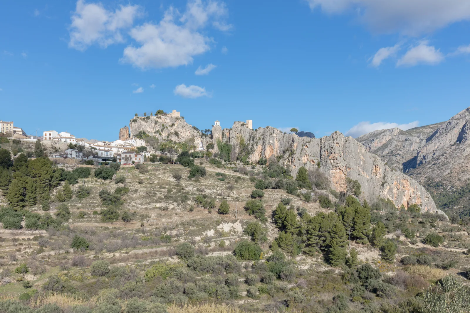
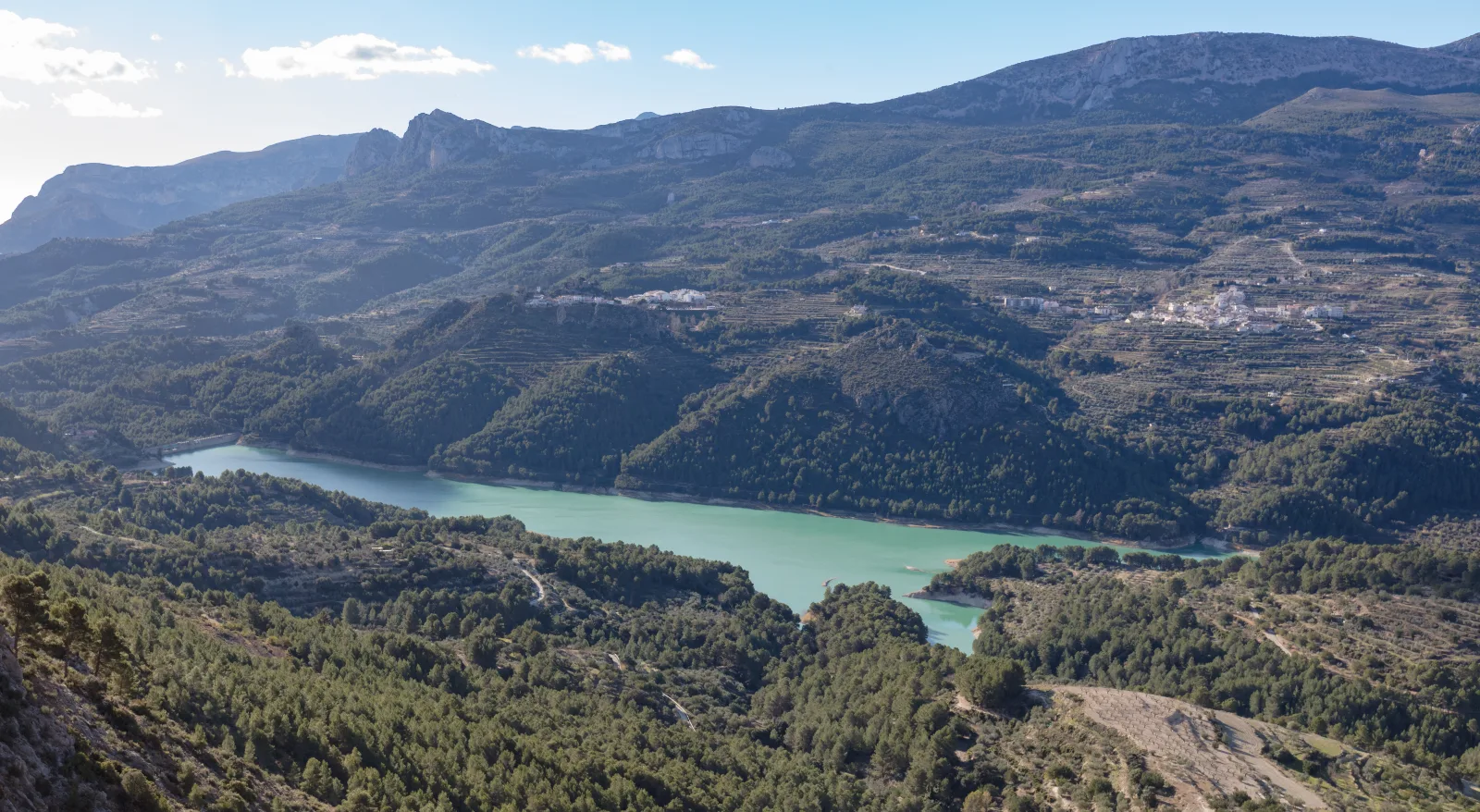
Seen from above, the reservoir is one of the defining features of the Guadalest valley. Walking around its surroundings replaces that panoramic image with a closer encounter with farmland, pine trees and the enclosing mountains. The municipal itinerary from Beniardà involves little technical difficulty, although its length still deserves a substantial part of the day. It offers a rewarding combination of scenery and time in the villages of the valley.
Begin in the right village
This guide follows Beniardà council's itinerary: it leaves by Calle San Francisco and forms a circuit of approximately ten kilometres. Do not place the start in El Castell de Guadalest simply because the reservoir shares its name. Other descriptions of the area give different lengths; here we keep one specific reference. Before driving, save the village location and check where you may leave your vehicle without obstructing streets or entrances.
Choose your pace as well as your direction
The municipal description combines a footpath with a paved track and allows the circuit to be walked in either direction. Use the official map to understand that combination before setting off. With a mixed-age group, agree on breaks and consider whether everyone wants to complete the loop. A shorter out-and-back outing may suit you better, but its length depends on your chosen turning point and is not the published full circuit.
A landscape that changes
Enjoy the contrast between water, slopes and working farmland without expecting the scene to match a photograph exactly. Reservoir levels, light and season can change its appearance. Remain on the route and respect private land and service access. This guide proposes a walk through the surroundings; it does not establish permission for swimming, boating or entering water-management infrastructure. Any such activity requires its own information and checks through the relevant official channels.
Build a day around the valley
Check heat, rain and local notices, and carry water and some food from the start. Low technical difficulty does not turn ten kilometres into a brief stroll or guarantee suitability for every mobility requirement. If you plan to visit Guadalest's heritage attractions afterwards, allow separately for travel and walking, and check the opening arrangements of the places that interest you. Choosing fewer visits leaves more room to enjoy the reservoir walk.
Before your visit.
Does the circuit begin at Guadalest castle?
Not the itinerary covered here. We follow Beniardà's proposal, leaving by Calle San Francisco. Check the starting point of any map before relying on its distances.
Can it suit a family outing?
The council describes little technical difficulty. Also consider the total distance, heat and each person's ability: family-friendly does not necessarily mean short or suitable for every access requirement.
Check the official sources.
Before travelling, check current notices, access arrangements, reservations and programmes with these sources.
- Ayuntamiento de Beniardà · Circular del embalse desde Beniardà ↗
- Ayuntamiento de El Castell de Guadalest · Paisaje y opciones de turismo activo ↗
- Ayuntamiento de Beniardà · Mapa y rutas de senderismo ↗